 Kongenshus Hede, fotos og kort * Fotos 8 NOV 2012
* Hammerum+Ø.Horne
Kongenshus Hede, fotos og kort * Fotos 8 NOV 2012
* Hammerum+Ø.Horne
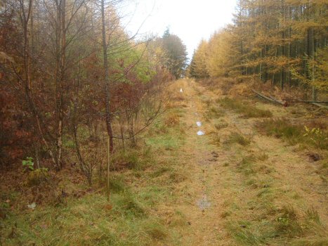
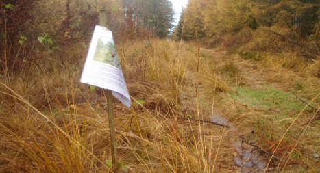
Mindedalen * Informationstavle og
pil * Attrap Grove/Karup *
Google Map p114 Lancaster R5679
Om
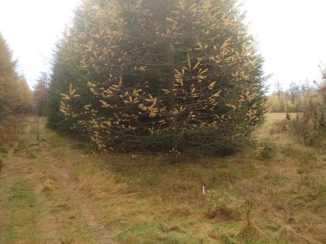
Nedstyrtningsområdet. Fra den hvide pind i
skovspidsen mod syd og til den
første grønne pind er der 28,75 m. Herfra er der 24,75 m hen til næste pind
med
A4-ark. Vragrester blev fundet med metaldetektorer mellem de to grønne
pinde.
 Kongenshus Hede, the
heath, photos and map * Information board and
arrow
Kongenshus Hede, the
heath, photos and map * Information board and
arrow
Memorial Valley *
Hammerum+Ø.Horne * Photos 8 NOV 2012
Decoy A/F Grove/Karup *
Google Map p114 Lancaster R5679
About the Crash site
area. The distance from the white stick to the south and to
the first green stick is
28.75
m. From here to the next stick with an A4-sheet there
is a distance of
24.75
m. Pieces of wreckage were found with metal detectors
between the two green sticks. |